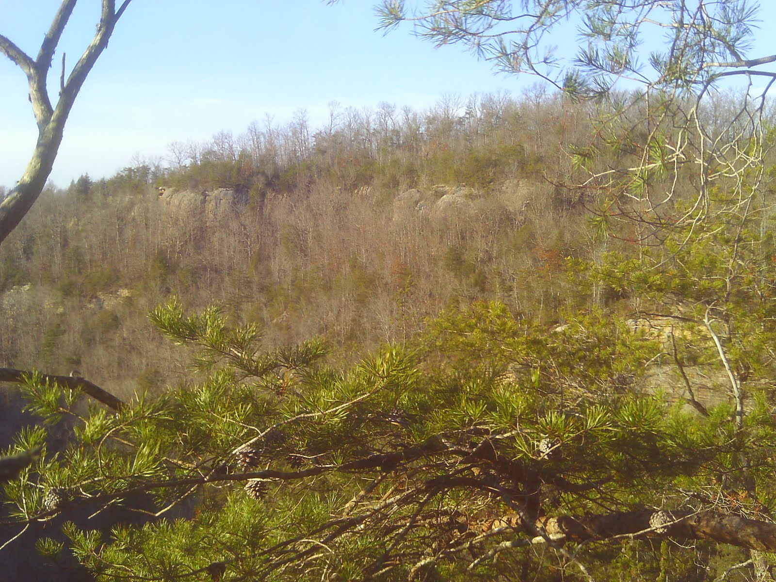
Saturday morning: Bedford Indiana. I was with a couple grotto members, Gil and Scott, and another guy named Mike. We parked and suited up to descend into Donahue Cave. The entrance is through a culvert. When the highway was built, they shoved the pipe right up into the mouth of the cave and buried it. Immediately upon entering you twist and turn, walking through a curvey passage. Soon we came to a large flowstone with water trickling down. We crawled up over top of it to get to a larger stream passage. Then to avoid getting wet until we had to we began walking along the sides. Not too long after that the cave began to really get interesting. We paused briefly and I took some pictures of a nice active flowstone formation.
After this point the stream passage we were walking in became very tall. You could either walk along the bottom, or go along the top. If you went on the top route you scurried along the edges and criss-crossed back and forth on numerous natural bridges.
At some points the bridges were so low you either had to crawl over them, or crawl under them. But I went up and down. At some points following the stream, and at others I climbed up high to test my footing on the high slopes. I'm pretty certain the natural bridges are a result of sandstone being left behind when the cave was formed. When all the rock layers were laid down some sand/mud was mixed in with the limestone. When the acidic water (water with dissolved CO2) made contact with the limestone and began forming the cave it ate left behind the sandstone resulting in the natural bridges.
A while later we reached the massive flowstone formation that Gil and Scott had been telling us about. It was not possible to go over it. What way does that leave? Under! And what is under the flowstone? Very cold water! So Gil dove in first, with me following. It was pretty cold and the worst part was when you had to put your head in the water and curve your body around a rock in an "S" shape.
(Small portion of the flowstone. We entered to the left, near the bottom corner)
The flowstone was quite a site from the other side. Gil led us on. He told us this end of the cave is pretty. If we continued this route it would take us out the 2nd entrance of Donahue Cave. However after a while we began seeing a lot of bats in hibernation so Scott decided we should turn around so we didn't disturb them. So back to the flowstone we went. But before we dove back under it Gil and I climbed up to the top. There was an amazing, pristine pool up there. It was even more fascinating to see it kept going. If you laid down in the water you could squeeze your way into a second room. The water was so clean and the gleaming flowstone reflected brilliantly in the light of the headlamps. I didn't get any pictures however as I had opted to not bring my camera under the flowstone.
We made the cold crawl back under the flowstone and then took a break before backtracking down the passage. This time we just walked in the stream instead of going up above. But we finally made it to the connection point. Scott and Gil led the way. For a while it was walking passage. Then, we found ourselves in a small water canyon. Gil told us to try our hardest to not fall in. The water isn't deep but the mud is deep. So we worked our way along, clinging to the rock walls and finding foot holds. Scott and Gil fell in, but Mike and I didn't.
We did come to a 2nd mud filled tube. This time we just had to wade through it. So in we plunged, with mud and water flying everywhere as we sank up to our knees in it. It was quite the experience. Occasionally we'd see some small decorations above us, and in rare cases we saw some tiny gypsum crystals.
Then the "key hole" passage came. It was a very tight passage that required you to twist around and work your body into positions you never thought you could. Oh, and did I mention the bottom had muddy water flowing through it? :) The hardest part of that was just figuring out in which ways to coordinate your body to move so you could get through.
(Looking back at the last section as I exited the keyhole)
We popped out into a room and there were a few formations. But the air was so steamy I didn't get great pictures of them.
At this point we were near the edge of a very tall canyon. We used a tow strap that cavers had placed around a rock, to lower ourselves safely to a ledge. At this point you could either climb down a rope to the bottom, or work your way from ledge to ledge until you reached a safe enough height to jump. I started to follow Gil down on the rope but I didn't feel entirely comfortable so I backed out and decided to climb and then jump down.
Then we began walking down the length of the canyon. And then we reached an even bigger flowstone formation that choked off the entire canyon. There were two ways to go. There was a tiny hole on the right side that required squeezing and forcing your way through. It would take you around to the other side. Scott couldn't fit. So he had to go under. Going under meant hardly any airspace, and laying down in the cold water. Mike and I pushed everyone's packs through while Gil stood by to pull Scott out should he panic. But he made it through so Gil followed us through.
It wasn't long until we reached the end of known territory. Gil and Scott had never been beyond the point that we stood. They knew there was a connection to Doghill Cave and it was our goal to get successfully through. Before us was deep water. And a rope tied off to the ceiling. We had to go through it. There wasn't enough room to keep your head straight otherwise your mouth would be underwater. So you had to turn it sideways and have your ear in the water as your walked/pulled your way through.
My turn came and I dove in, and worked hard to just stay calm, and get through the passage. And I did. After that Scott came through and we all had the same feeling of excitement. In front of us was territory in which none of us knew what lay beyond. We were in another steam passage... A tall canyon. And little by little we went on and small beautiful formations became visible. I wanted to take pictures but unfortunately the zip lock bag I kept my camera in leaked and the camera got wet.
We began hearing loud water, and for the next 20 minutes we were in the most beautiful and exquisite cave passages I had ever seen! Huge Stalactites hung from the ceiling, draperies clung to the walls and spilled down in breathtaking patterns. In some places stalactite and stalagmite met to form tall columns. In some places giant rimstone dams the size of suburbans held back the stream and the water cascaded over them. But perhaps the most amazing feature was the numerous flowstone formations that almost completely filled the canyons. On a couple occasions we climbed up them to continue on through the passage. In all my life I have never seen cave so beautiful and pristine.
Almost as quickly as it began, it was over. We were in just typical cave, stream passage, leaving the beauty behind. And then we were faced with choices. There were what appeared to be three ways to go. Scott and Mike followed a passage, for a ways but it ended up not going anywhere they decided because the air was too stagnant. Gil and I saw a passage that was filled with water and we decided that would be our last resort. So we endured a miserable crawl over sharp rocks and we found ourselves in a small, very beautifully decorated room. There were hundreds upon hundreds of small pillars, soda straws, and stalactites. I wish I could have gotten pictures. But we finally crawled out and joined up with Mike. He told us Scott had already entered the water to scout ahead.
We plunged in. But thankfully there was a grove in the ceiling that gave us headroom. After we exited the water we ran into Scott. He had raced all the way ahead and found the exit. Encouraged, we pressed on seeing lots of junk flood water had washed in. We even saw a sled. And soon the smell of decaying organic matter grew stronger and probably after 15 minutes we saw light. We exited the cave to find ourselves in a small patch of trees surrounded by apartment complexes. We hiked around and began walking next to a hotel and followed roads until we realized we were on the same side of the highway we had started. Soon we saw our parking spot ahead, and the suburban. When we had made the connection to Doghill Cave at some point we had passed back under the highway. This made sense too since at once point we were sure we heard traffic above us.
Anyway we changed and then got check into a hotel. I dried out my camera over a heater and got it working again. I was ready for the next day!
It was drizzling rain so Gil and Scott decided that we wouldn't go to Deputy cave. The reason for that is a pond overflow goes right into the cave so rain was a very important factor in this cave. So we drove on backroads through Indiana fields looking at sinkholes and admiring the karst terrain. We saw a lot of Amish farms too. At one point we saw them in a buggy. But we eventually made it to the Orangeville Rise.
(Orangeville Rise)
Based on what I read and was told, this is part of the Lost River watershed and it emerges from the ground here. There is a house almost right above it. We looked at it a few minutes, and then Gil decided we should go to Wesley Chapel Gulf. This is an 8 acre sinkhole. At some point in the past it collapsed in on itself. It is a very high karst area and it is ringed with caves. At one end is a pool. Water enters at some point and then is sucked back underground. I was able to get a picture of the whirlpool.
We found a small cave and could hear water at the bottom so we all hiked back to the vehicle, and geared up, and then descended in.
We poked around and followed the water. It ended in small spaces we couldn't follow. And then we crawled up into an overflow route and followed it a ways before decided to head out. It was fun to check it out. So then we decided it was time to go home and we began hiking out. However, on the way out we found more cave potential so there went our plans to head home. It was tricky, with some breakdown in precarious positions. But I was the first to the bottom and I excitedly called out "Cave!", meaning it went. We got the bottom and saw what appeared to be a deep water passage looming ahead of us. Not ones to let deep water stop us, I led the way, trying to keep to the edge. We traveled slowly, sinking into silt and in yelling in surprise when the water got deeper. But soon we got to shallow water and gravel and found ourselves in a really pretty area.

We were able to leave the stream passage and explored around. But the cave ended. It had collapsed in and the water flowed beneath it all. But I did find a nice room, up above some slippery mud that had a lot of nice formations in it.
At that point we decided it was time to turn around. So we headed on out and changed back at the suburban, before driving home. It was a great trip, and by far my favorite. I immediately went home and did research in my books I have. I found out there are three caves in Wesley Chapel Gulf. We went into the two small ones. The first one we entered into is called Boiling Spring Cave. The second one is Elrod Cave. The cave we didn't go into is Wesley Chapel Gulf Cave. And that one, I found out, has a connection to Lost River Cave which has over 20 miles of passages. We were right there!!!!!! And we didn't know about that. But when I pass this information on to Gil and Scott I'm sure a return trip will not be too far off...